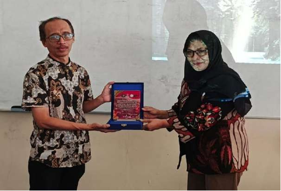
Precision agriculture is a strategy that leverages technology to enhance agricultural practices through systematic data collection and analysis. One of the key technologies used in this field is unmanned aerial vehicles (UAVs). These drones are widely utilized for environmental monitoring, mapping, and regional management due to their ability to quickly and accurately gather spatial data. The integration of drones with sensors and data recording systems has proven beneficial in supporting data-driven decision-making across various sectors, including agriculture, disaster management, and infrastructure monitoring. However, the implementation of drones in agriculture is largely dominated by imported, ready-to-use products, which limits users' understanding of system architecture, sensors, and UAV control technology. Modifying these drones can be a complex task. To address this, a community service initiative was conducted in the form of training sessions focused on the design and use of drones for teachers, aimed at enhancing human resource capacity. The drones were constructed using components that are relatively easy to source domestically and were equipped with sensors for agricultural data collection, following the principles of UAV-based mapping and regional monitoring. Accurate data obtained through these methods serves as a foundation for effective decision-making in precision agriculture.